
Home/Sectors/Shipping & chartering
AIS data for shipowners and operators, straight into the systems you already run
Positions, port calls and berth timestamps from receivers we own and operate, evidencing the laytime timeline no independent party recorded, substantiating speed and consumption claims, and providing the second source your fleet map currently lacks.
100,000+
Vessels tracked / day
49M+
AIS positions / day
40+
Countries covered
<5s
Antenna to your API
Your fleet tracking AIS data probably comes from fewer sources than you think
The three or four screens carrying your vessel positions increasingly resolve to a single upstream feed.
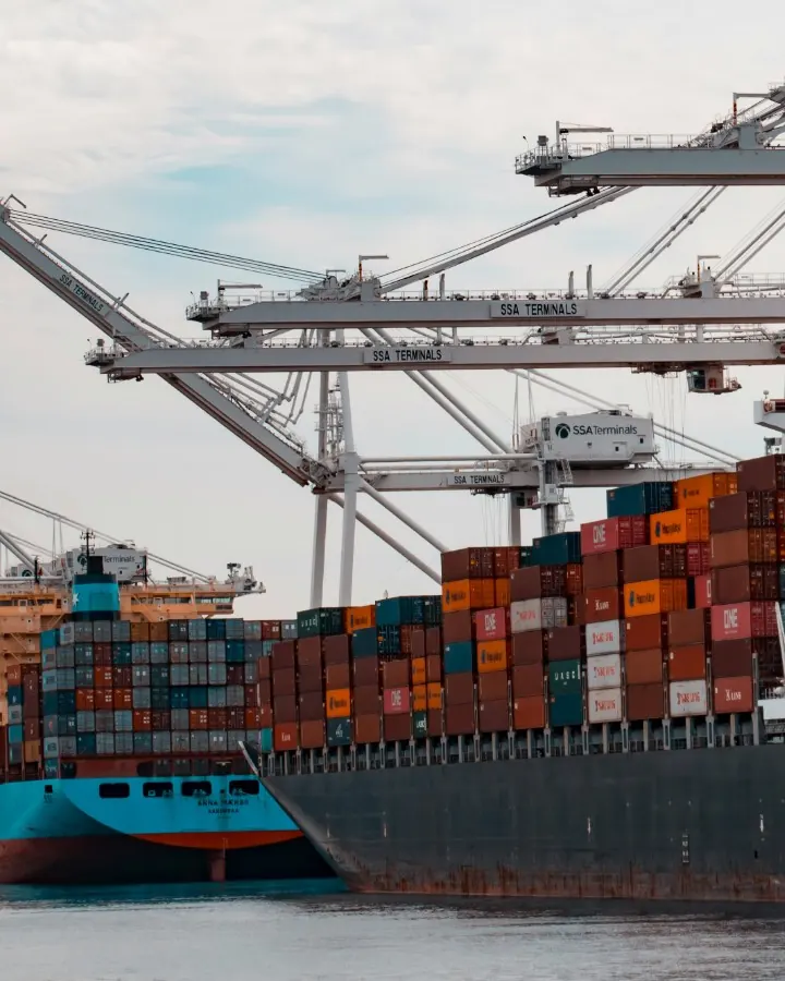
Four screens resolve to one upstream feedMost operators run three or four position screens: the fleet map, the chartering and tonnage list tools, the compliance check. Since 2023 a sequence of acquisitions has consolidated the best known AIS brands under very few owners. The result is concentrated counterparty risk and limited commercial leverage at renewal.
No independent party recorded the timelineLaytime and demurrage turn on when the vessel arrived, anchored, tendered Notice of Readiness, berthed and sailed. The Statement of Facts is compiled by the agent, and the burden of proof rests with the claiming party. Speed and consumption warranties are contested the same way.
We are an independent AIS data providerWe operate our own terrestrial and ship-borne receivers, plus satellite feeds for open ocean, encrypting each message at the point of capture. Every position is nanosecond time-stamped and assigned a trust score by anomaly detection models, so an implausible track is flagged rather than plotted. Delivery is raw NMEA over TCP, REST or WebSocket.
Send an IMO number, get the track backNominate one vessel and we will return what our own network is collecting for it, with the port call and berth timestamps.
Send an IMO, get the trackA track for one vessel, or a live second source for the whole fleet
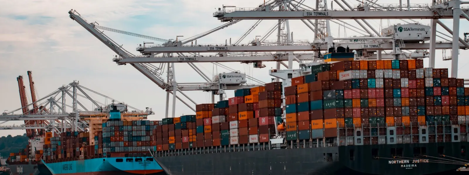
Laytime and demurrage timelines
An independent, timestamped record of arrival, anchorage, Notice of Readiness, berthing and sailing for the vessel and dates in dispute, including waiting time off the port, to reconcile against a Statement of Facts compiled by the counterparty.
Speed and consumption, and off-hire
Position and speed data across the charter period, so an underperformance claim or an off-hire deduction can be evidenced from timestamped track data rather than from a deck log and a counterparty analysis, both prepared in-house.
A second source behind the fleet map
A feed that shares no upstream with your existing vendors, so a single supplier outage, repricing or change of ownership cannot remove the fleet map, the chartering screens and the compliance tool simultaneously.
Ingestion into your voyage management system
Raw NMEA over TCP, REST or a WebSocket stream into IMOS, Dataloy or an in-house fleet map, under five seconds from antenna to API. No platform migration, and no further per-seat login for the operations desk to maintain.
Congestion, berth waiting and port rotation
Port call and berth timestamps across the terminals you call at, so congestion is identified early enough to slow steam, re-stem bunkers, move a laycan or reorder the rotation, rather than once the vessel is already waiting at anchor.
Chartered-in tonnage, sanctions and war risk
Track behaviour and spoofing indicators on tonnage before it is fixed, and on owned vessels in jamming-prone waters, so the diligence behind a fixture can be evidenced rather than asserted when a P&I club or regulator enquires.
Where the positions come from, and what happens to them
First-party reception on hardware we control, with an unbroken chain from receiver to record.
Monitor
Receive it ourselves
Terrestrial and ship-borne receivers, plus satellite feeds for open ocean across 40+ countries, all running the same standardised hardware, collecting more than 49 million AIS positions a day from over 100,000 vessels.
Verify
Score it before you see it
Each message is encrypted on the hardware at the point of capture and nanosecond time-stamped, then given a trust score by anomaly detection models, so jammed, spoofed or manipulated positions are flagged rather than passed through as fact.
Act
Put it where the work happens
Take it as raw NMEA over TCP, REST or a WebSocket stream, into the voyage management system, the fleet map, the emissions workbook or the claim file, under five seconds from antenna to API.
AIS data for shipowners and operators: common questions
Is AIS data accepted as evidence in a demurrage or laytime claim?
It is admitted routinely, though ordinarily as corroboration alongside contemporaneous ship records rather than as the sole record. The AIS protocol carries no authentication of its own, which is why tribunals continue to weight the deck log, the pilot card and the port agent's paperwork. What determines the evidential weight of a track is provenance: whether the origin and handling of each position can be demonstrated. We receive on our own hardware, encrypt each message at the point of capture, nanosecond time-stamp it and preserve the chain from receiver to record, and we will state plainly what we hold for a vessel and what we do not.
What is the difference between terrestrial AIS and satellite AIS?
Terrestrial AIS is received by shore stations over VHF, so range is a function of antenna height: roughly 15 to 20 nautical miles from a low site and 20 to 40 or more from a well-placed one. Within that band the refresh rate is high, which suits port approaches, anchorages and berth events. Satellite AIS covers open ocean, but a satellite observes a very large footprint at once, so in dense traffic messages collide and are lost, and the refresh rate falls. Neither is complete in isolation. We collect both, plus ship-borne reception from vessels at sea, and deliver them as a single feed.
How accurate are AIS port call and berth timestamps?
A port call event is derived, not broadcast. It is inferred from dynamic position reports, speed over ground and navigational status, combined with static and voyage-related data such as draught and destination. Accuracy therefore depends on reception density near that terminal, and a derived arrival time is only as reliable as the positions supporting it. We return the underlying positions alongside the events, so the derivation can be examined rather than accepted as a rounded timestamp.
Can AIS positions be spoofed or falsified?
Yes. A transponder broadcasts what it is instructed to broadcast, and the standard carries no authentication, so MMSI and position can be manipulated. GNSS jamming and spoofing are well documented in several busy regions, and they affect owned tonnage as readily as dark fleet vessels, producing phantom deviations, incorrect ETAs and false compliance alerts on your own vessels. We score every position and flag what does not reconcile, rather than silently discarding it.
Do you cover the vessels and ports we operate, and how do we check?
Send the IMO number or MMSI and the ports that matter to you, and we will return the track our own network is collecting for that vessel, with the port call and berth timestamps, as NMEA or JSON. We supply only what our own network collects, so we will also state reception density around the terminals at issue rather than quote a global figure. Delivery is raw NMEA over TCP, REST or a WebSocket stream.
Related sectors


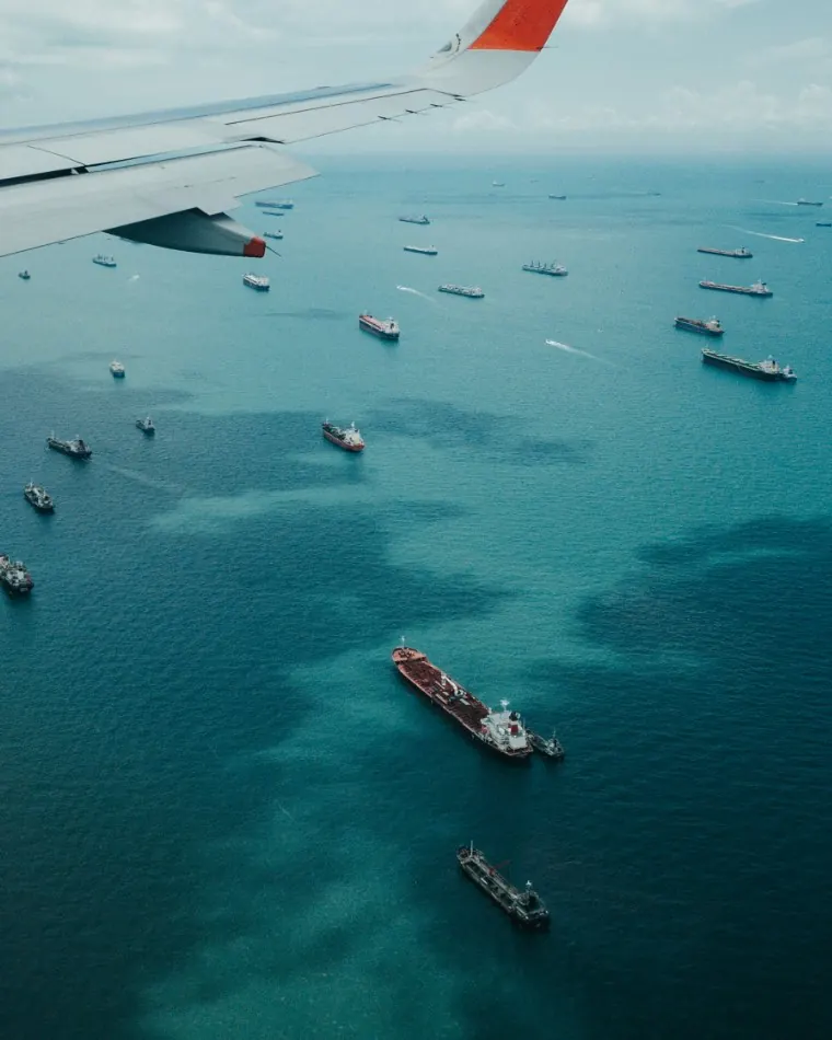
Test us on one vessel before you change anything
One IMO number is sufficient to test what our own network is collecting against records you already hold.
Send an IMO, get the track