
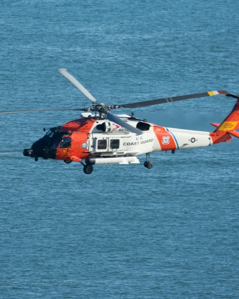
Real-time AIS data for search and rescue, into the picture you already run.
AIS will not see a liferaft. What it will do is show you every transponder-carrying vessel around a distress position, tell you whether that position can be trusted, and hold the record for the inquiry afterwards.
100,000+
Vessels tracked / day
49M+
AIS positions / day
40+
Countries covered
<5s
Antenna to your API
What a coastguard AIS data feed has to carry that a trading feed does not.
An AIS-only picture is structurally blind to the casualty, but it covers the rest of the problem around a last known position.
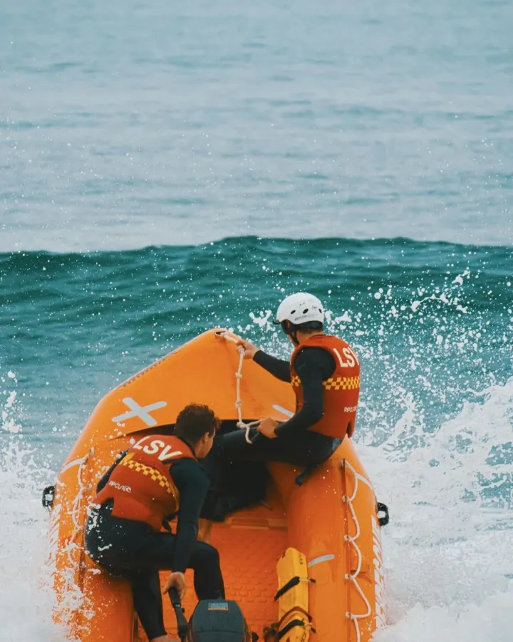
AIS will not see the casualtyThe casualty is usually a small craft, a RIB, an open fishing boat or a migrant vessel carrying no Class A transponder. What AIS does cover is the vessels of opportunity around a last known position, whether a reported lat/long is credible, and the record a board of inquiry will ask for later.
Distress messages have to survive filteringPipelines built for trading analytics have no reason to carry AIS-SART (MMSI 970), AIS-MOB (972) or EPIRB-AIS (974) traffic, so ask any supplier whether those ranges survive their processing. We do not strip them: what our receivers collect reaches you in raw NMEA 0183 AIVDM, with the originating station still attached.
You need better input, not another screenMost suppliers sell a platform and expect an MRCC to staff and train on another interface. If you have already built a common operational picture, or bought a national C2 system, we deliver a feed instead: raw NMEA over TCP, a REST API, a WebSocket stream, and SAPIENT compliant output.
A sample from your own SRRSend us the boundary of your search and rescue region and a time window, and we return real positions with station provenance and trust scores attached.
Check coverage in your SRRHow rescue authorities use real time AIS data for search and rescue operations.
Close the coverage gaps inside your SRR
A terrestrial network stops where its receivers stop, which usually means remote coastline, archipelagos and Arctic approaches. Tell us the waters you answer for, including a neighbouring state's SRR a case can drift into, and we will show you what we actually collect there.
Find the nearest vessel of opportunity
Run a SURPIC-equivalent query against live positions to identify a merchant ship close enough to divert under SOLAS V/33, instead of relying only on voluntary AMVER reports that may be many hours out of date by the time the case opens.
Validate a reported position before you task an asset
GNSS jamming and AIS spoofing are now systematic in the Baltic, the Black Sea and the Eastern Mediterranean. Every position we deliver carries a trust score from our anomaly detection models, so a coordinator can weigh a suspect lat/long before committing a helicopter or a lifeboat.
Cut the delay between report and operational picture
Satellite revisit gaps can leave a position hours old by the time it reaches the operations room, which pushes the SMC into planning a far larger search area. Positions our own receivers collect reach your API in under five seconds.
Reconstruct a case defensibly
Historical AIS for marine accident investigation, a coroner, or parliamentary and judicial scrutiny of a response. Nanosecond time stamps, the originating station still attached, and no smoothing or interpolation applied to make the track look tidier than it was.
Hold an independent second feed
Consolidation has concentrated much of the market's satellite and terrestrial AIS under one owner, leaving a statutory safety function single-sourced. Run us alongside your existing maritime domain awareness data provider as a continuity feed and a cross-check.
How a position reaches your operations room.
Every station runs the same dedicated standardised hardware, encrypting each message the instant it is captured.
Monitor
Track the traffic around the case
Our own terrestrial and ship-borne receivers, plus satellite feeds for open ocean track 100,000+ vessels a day across 40+ countries, 49M+ positions in all, including the distress message classes that commercial cleaning pipelines drop.
Verify
Judge the position before you launch
Every position is nanosecond time-stamped and given a trust score by our anomaly detection models, so a fabricated track shows up as one.
Act
Into the systems you already run
Raw NMEA over TCP, REST API, WebSocket stream, and SAPIENT standard compliant output, feeding your COP or C2 system. If routing sovereign data through a foreign cloud is not acceptable, say so early and we will work through delivery with you.
Questions a rescue authority asks first.
Does your AIS feed include AIS-SART and AIS-MOB distress messages?
Yes. We do not strip the 970 (AIS-SART), 972 (AIS-MOB) or 974 (EPIRB-AIS) MMSI ranges. Pipelines built for trading analytics often discard them as non-vessel noise during cleaning, which is the one thing a watchkeeper cannot afford. Ours pass through as received, in raw NMEA, with the receiving station attached, and you can check that for yourself in a sample.
What is the latency of terrestrial AIS data for search and rescue?
Under five seconds from antenna to your API for positions our own receivers collect. That figure is terrestrial. Satellite AIS anywhere in the industry is governed by revisit rate, so a satellite position can be considerably older when it lands, and we will always tell you which of the two a given position came from rather than blend them and leave you guessing.
Can we share purchased AIS data with other government agencies?
That is a licence question and it is worth settling before anything else. Tell us which agencies, which picture the data feeds, and whether cross-border sharing under CISE or a bilateral arrangement is involved, and we will set the permitted uses out in writing rather than leave you to infer them from standard commercial terms written for a trading desk.
How do you detect AIS spoofing and GNSS jamming in AIS data?
Each message is encrypted on the hardware the instant it is captured and nanosecond time-stamped, so we know which of our stations collected it and exactly when. Our anomaly detection models then score every position. A track that has been fabricated, or dragged onto land by jamming, tends to fail those checks.
How far back does historical AIS data go for incident investigation?
We hold what our own receivers have collected, so the honest answer depends on the sea area and the period. Give us the position, the window and the vessels involved and we will tell you precisely what is in the archive, and what is not, before anyone relies on it in front of a board of inquiry.
Related sectors

Find out what we collect in your waters before the next case.
Send us a sea area and a time window, and we will come back with real positions, station provenance and trust scores attached.
Check coverage in your SRR