
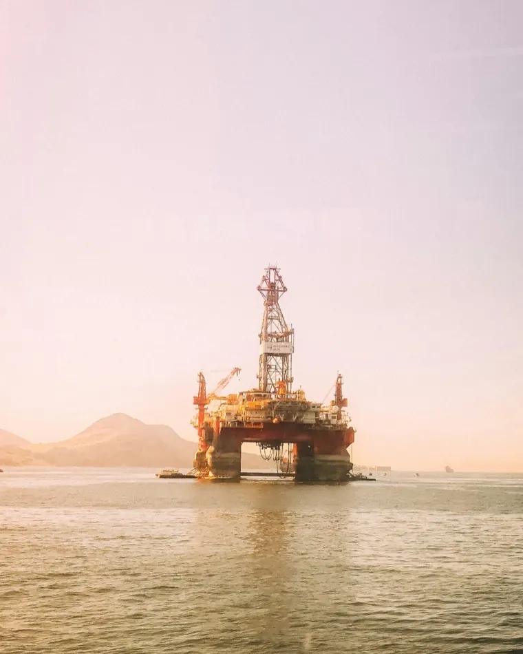
AIS data for offshore energy, with proof of where every position came from
Vessel traffic baselines for consenting, geofence alerts around platforms, turbine arrays and export cables, and position records that withstand legal scrutiny. Provide the polygon and we will establish the coverage first.
100,000+
Vessels tracked / day
49M+
AIS positions / day
40+
Countries covered
<5s
Antenna to your API
Offshore wind vessel traffic data is only as good as the receiver that recorded it
The quality of the AIS record determines whether an offshore consenting assessment withstands review.
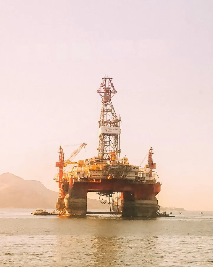
Offshore consenting rests on a thin baselineDevelopers’ own Environmental Statements routinely caveat their AIS baseline, since carriage is not compulsory for smaller fishing and recreational craft and reception varies offshore. A BOEM Navigation Safety Risk Assessment is constructed from multi-year AIS rather than a survey window, so the historical record carries the assessment.
In operation the requirement invertsAnchor drag and fishing gear are the leading causes of third-party damage to in-service export cables and pipelines, and a dragging anchor crosses a corridor within minutes. Generic AIS alerting obscures the determining pattern: a vessel slowing, turning and losing way over the corridor, raised early enough to hail the vessel.
The feed itself is a targetOn 26 January 2026 the coastal states of the Baltic Sea and the North Sea, together with Iceland, published a joint open letter recognising GNSS interference and AIS manipulation as threats to maritime safety and security. The data protecting the asset is now a target in its own right. Every position we deliver is encrypted on the hardware at the moment of capture, nanosecond time-stamped and assigned a trust score by anomaly detection models, so falsification presents as a physical inconsistency rather than a suspicion.
Days of seasonally varied vessel traffic data set as the UK survey floor.
MGN 654Coverage is established before anything elseSubmit a polygon, a cable corridor or a block reference with a date range, and we return a documented account of our coverage over it.
Check coverage over your assetFrom offshore wind navigational risk assessment to live asset protection
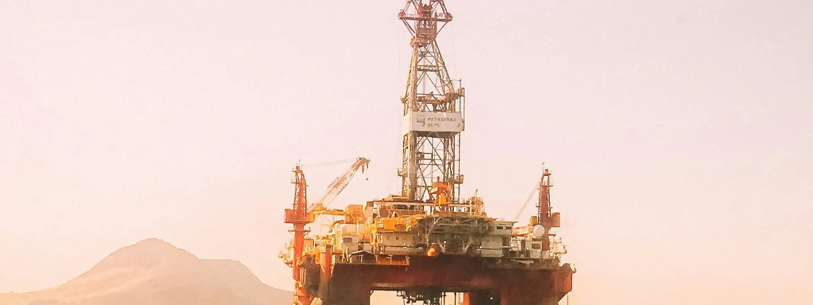
Consenting, NRA and Environmental Statement baselines
Site survey provides 28 days of seasonally varied traffic, and the remainder of an NRA rests on a longer run of AIS. Every position we collect carries the receiver that recorded it, so tracklines, density grids, transit lanes and per-vessel records stay traceable for an MCA or BOEM reviewer.
Export cable and pipeline corridor monitoring
Geofence an export cable, an inter-array route or a pipeline and receive an alert when a vessel slows, turns and loses way over it. Anchor drag and trawl strike register as behaviour rather than presence, so the alert arrives while intervention remains possible.
500m safety zone and platform monitoring
Monitor approach, loitering and infringement around platforms, FPSOs and turbine arrays. Rules are configured per asset, so the ERRV, the standby vessel and routine field traffic do not generate the noise that obscures a genuine infringement.
Incident forensics and liability recovery
Reconstruct which vessel was over the fault position at fault time, at what speed and heading, and which candidates can be excluded. Each position carries the station that observed it and an immutable audit trail, which a defendant must rebut on the record.
Marine coordination and O&M logistics
Track CTV, SOV, PSV and AHTS movements for charter utilisation, on-site time, weather-window compliance, rig moves and decommissioning campaigns. Independent position records resolve charter party disputes that would otherwise rest on the vessel operator’s own log.
Emissions and ESG activity data
Derive vessel activity for the EU ETS extension to offshore ships from 2027, for FuelEU Maritime where a vessel falls in scope, and for Scope 3 flow-down from majors and OEM contracts. Auditable movement records substantiate a figure that modelled fleet averages cannot when a verifier asks how it was derived.
How we produce AIS data for offshore energy, and how you check it
No part of this is bought in or modelled. Positions originate from receivers we own and operate, and each one can be traced to the station that collected it.
Monitor
Watch the block, the array, the corridor
100,000+ vessels a day across 40+ countries, from terrestrial and ship-borne receivers, plus satellite feeds for open ocean running the same standardised hardware. Draw geofences around the asset and take events by REST API, WebSocket stream or raw NMEA over TCP.
Verify
Know which receiver saw it
Each message is encrypted on the hardware at the moment of capture and nanosecond time-stamped, then scored by anomaly detection models. Spoofed and manipulated positions fail on physics.
Act
Alert now, evidence later
Push the alert to the marine coordination centre, the OIM or the guard vessel. Every alert carries the positions behind it with their provenance intact, so the same record answers lawyers, insurers, regulators and EPC partners when the event becomes a claim.
Questions offshore energy teams ask before they buy AIS data
How much historical AIS data is needed for a navigational risk assessment?
MGN 654 sets the survey floor at 28 days of seasonally varied vessel traffic data, and that is a floor rather than a baseline. UK Navigational Risk Assessments typically validate the survey against a further twelve months or more of historical AIS, and US assessments commonly extend to several years in order to evidence seasonality, transit lanes, fishing effort and the ship domain across the site. We supply only what our own network collected, so coverage over the specific polygon is the first thing to settle. Send the polygon and the dates, and we will document our coverage over it before a consent case is built on it.
Does satellite AIS cover offshore wind lease areas and offshore blocks?
Satellite AIS provides revisit over open water, terrestrial provides refresh rate near the coast, and most offshore assets fall between the two. We run terrestrial and ship-borne receivers, plus satellite feeds for open ocean, so the accurate answer for any specific lease area, cable corridor or block is a coverage check rather than a claim. Submit the polygon and we will document what our network receives over it, including the gaps.
Can AIS data be used as evidence in a subsea cable damage claim?
AIS and VMS tracks sit alongside ROV footage at the centre of most cable and pipeline damage claims, and electronically recorded navigation evidence has generally been accepted with little challenge. No dataset guarantees an outcome, and we do not claim otherwise. Provenance changes contestability: when each position can be traced to the receiver that observed it, carrying a trust score and an immutable audit trail, a defendant disputing the track must argue against physical records rather than a vendor’s assertion.
How do you detect a vessel that has switched off its AIS near a pipeline?
A vessel that ceases transmitting inside a monitored area produces an AIS gap, and the gap is an event in its own right: last known position, course, speed, the time transmission ended and the point at which it resumes. Corroboration across independent receivers also renders a falsified position detectable as a physical inconsistency. This is not equivalent to observing the vessel, and we state that plainly. Confirmation requires a second sensor, and the AIS record establishes where to direct it.
How accurate is AIS data for offshore support vessel emissions reporting?
AIS-derived fuel estimation is adequate for screening and contestable under scrutiny. Published comparisons against a real offshore supply vessel have shown deviations of roughly 12.5 per cent (Springer/LogReview, 2025), which supports trend analysis but is difficult to defend before a verifier. What can be made robust is the activity data beneath it: vessel position, speed and duration, from records traceable back to source.
Related sectors


See what we cover over your lease area
Submit the polygon and the dates, and we will establish the coverage and the provenance before commercial terms are discussed.
Check coverage over your asset